Scouting Locations
This morning’s forecast didn’t look great when I looked at it last night. Rain spreading from the west in the morning and clearing in the afternoon. I thought I might get an hour or two at 7am this morning before the rain arrived but unfortunately by the time I got to my destination it had already started. When this happens and light is poor I usually turn these trips into scouting exercises for future trips.
I downloaded a really useful map/trail tracking app recently called ViewRanger on iOS. You can download the free version and buy “tiles” of maps from in-app. 1:50,000 topography maps are available for Ireland and really useful when hiking in mountain regions or for marking locations for future reference. The automatic tracking via GPS is a good safety backup when engulfed in fog/mist. Having the maps downloaded means you don’t need to worry about having mobile signal coverage.
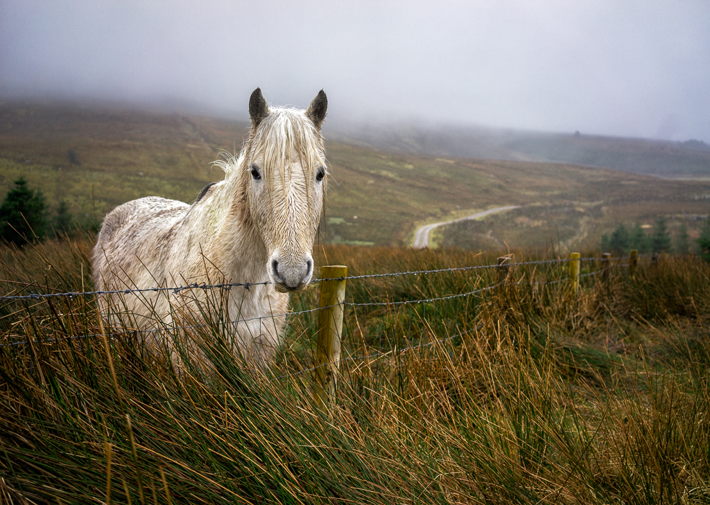
I spotted this pony/mule (might need the equine community to clarify here!) looking forlorn in the rain on the edge of the forest.